
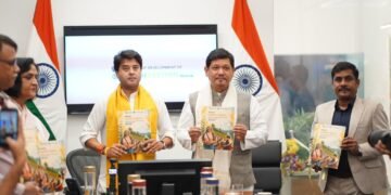


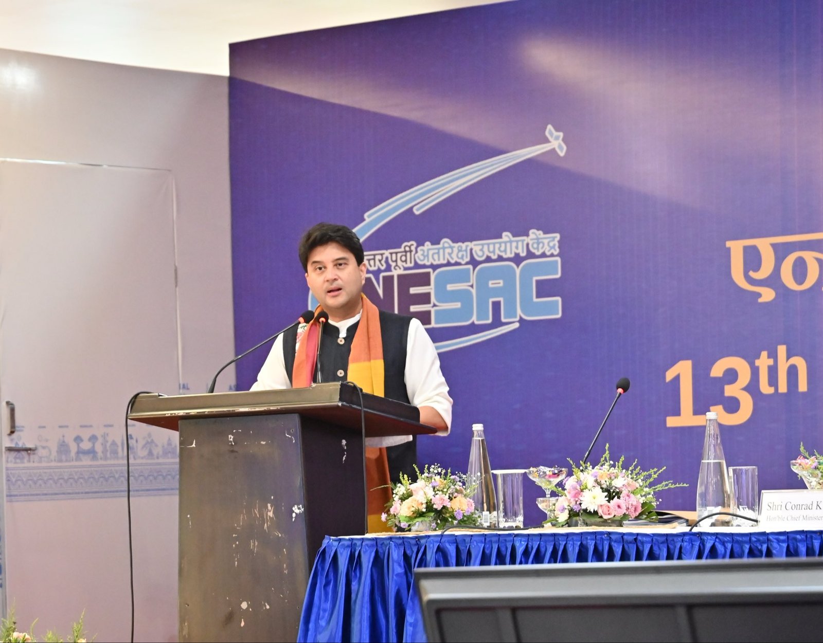
Shillong, Jun 4: Union Minister for Communications and Development of North-Eastern Region (DoNER), Jyotiraditya M. Scindia has outlined five strategic initiatives to enhance the efficacy of the North-Eastern Space Applications Centre (NESAC).
These include high-resolution village resource mapping, regular monitoring of vital ecosystems such as wetlands and forests, and the promotion of geospatial and space-technology startups in the Northeast.
One of the pivotal measures he discussed during a meeting of the North-Eastern Space Applications Centre (NESAC) Society here on Thursday was the development of an all-hazard disaster resilience digital twin platform known as NER-Shield, creation of a Northeast Green Wealth and Natural Capital Accounting Framework.
He noted that the completion of 50 projects since the previous society meeting represents the creation of a valuable digital knowledge base supporting the development aspirations of over 4.5 crore people in the region.
Seventy-eight projects are currently underway across sectors including agriculture, disaster management, weather services, communications, natural resource mapping, infrastructure planning and rural development.
Several key initiatives undertaken by NESAC were reviewed, including cropping system analysis to improve agricultural productivity, bamboo and Agarwood resource mapping in Assam and Meghalaya, weather and climate services, satellite-based communication support, and outreach programmes such as NE-SPARKS, through which 786 students from the Northeastern States visited ISRO facilities.
Scindia also reviewed the Vision NESAC roadmap, which envisages a phased transformation of the region through space-enabled governance and innovation, progressing from Smart Analytics to a Smart Region and ultimately to an Autonomous Ecosystem.
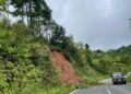
To strengthen disaster resilience, Scindia called for hyper-local, multilingual last-mile alert systems integrated with telecom networks and recommended expanding geospatial risk-monitoring tools for landslides and other natural hazards.
Scindia underscored the economic potential of agarwood cultivation and the need for geospatial mapping to open new avenues for farmers.
For infrastructure development, he emphasised the use of geospatial decision-support systems for project planning, hazard assessment and connectivity enhancement. He also highlighted the potential of drone technologies and suggested leveraging NESAC’s UAV capabilities to create livelihood and skill-development opportunities for youth and women, including through convergence with the Namo Drone Didi initiative.
He also referred to the contribution of ISRO in strengthening NESAC’s capabilities.
The meeting concluded with a reaffirmation of the commitment of NESAC, ISRO, DoNER and the Northeastern States to leverage space technology and innovation as key enablers of inclusive, sustainable and future-ready development across the region.