

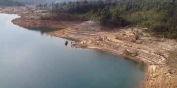


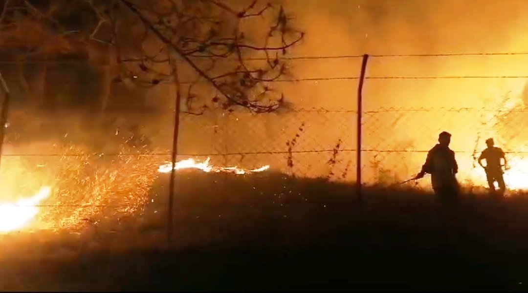
Nearly 26 per cent or around a quarter of forest areas in Meghalaya are vulnerable to wildfires, while almost 60 per cent are trending towards vulnerability.
This was informed by Chief Minister Conrad K Sangma here today during the release of three publications focusing on Meghalaya’s forests and the launch of an online portal called the Meghalaya Forest Fire Information System.
The publications released were ‘Rotation Age and Volume Estimation of Khasi Pine in Meghalaya (Volume I)’, ‘Forest Inventory of Sacred Groves in Meghalaya (Volume III)’ and ‘Geospatial Mapping of Forest Fire Vulnerable and Forest Fire Prone Areas in Meghalaya’.
Sangma also mentioned ongoing research initiatives under the Chief Minister’s Research Scholar Programme. He expressed the potential for creating predictive models by linking various research studies to understand the interactions between different environmental and economic factors. This includes studying how catchment areas influence water springs and how economic activities impact forest fires.
The CM emphasised the importance of continuous research, digital preservation of data and trend analysis for informing policy-making and corrective measures.
The North Eastern Space Applications Centre (NESAC) has also developed a forest fire incident reporting app for the state’s Forest and Environment Department.